
The Invisible Platform Behind the Visible Response
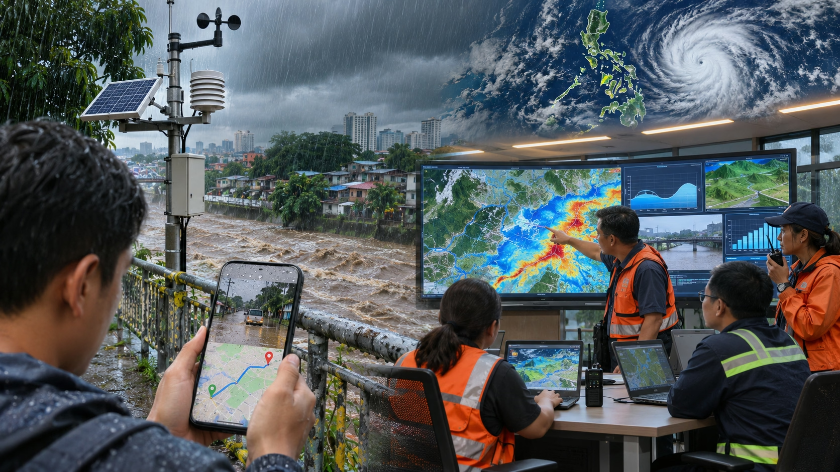
When a local government unit issues a preemptive evacuation order, the decision ideally rests on a chain of data: a rainfall forecast, a river-level reading, a wind-speed projection, a hazard map. In practice, that chain has historically been fragmented across agencies, spreadsheets, and informal channels. In 2026, the Philippine government is building something it has never had before—a set of shared digital platforms designed to consolidate hazard intelligence and push it outward to the LGUs and communities that need it most. These platforms are less visible than the apps and sensors that capture headlines, but they are arguably more consequential: they determine whether the rest of the climate-tech stack can plug into a coherent public system.
The NDRRMC Central Monitoring Platform and the GATES Vision
In the first quarter of 2026, the Department of Science and Technology and the NDRRMC launched a central monitoring platform for monitoring, warning, and preparedness, powered by artificial intelligence and hosting locally contextualized information on cyclones, volcanic eruptions, earthquakes, tsunamis, and other hazards. Science Secretary Renato Solidum Jr. framed the platform explicitly around local leaders: “If your role is disaster management, you want to know the warnings for the day; you’ll see it in the platform”. The platform is part of DOST’s Geospatial Analytics and Technology Solutions (GATES) program, which aims to transform large government datasets into actionable insights. Alongside it, DOST is launching PlanSmart Ready to Respond, an AI-enabled tool focused on quick disaster response, building on PlanSmart for Sustainable Human Settlements, which helps LGUs create risk-informed land use plans.
The Typhoon Watch App and the SHIELD Programme
At the provincial level, the UNDP-backed Typhoon Watch App has moved from pilot to operational rollout. In Pangasinan, the Provincial Disaster Risk Reduction and Management Office conducted a rollout of the app in May 2026 as part of strengthening disaster preparedness, while Cagayan’s PDRRMO held training sessions on the same platform. The app sits within a broader partnership: the SHIELD Programme, signed in March 2026, introduces modern tools including disaster-response drones for hazard mapping and rapid damage assessment, alongside the Typhoon Watch rollout to enhance early warning at provincial and local levels. These are not standalone gadgets. They are components of a public digital layer—warning, mapping, planning—that startups and LGUs can integrate with rather than duplicate.
The P1-Billion Signal in Project NOAH
The government’s most visible technology commitment remains Project NOAH’s P1-billion AI flood forecasting upgrade, implemented by the UP Resilience Institute. The funding covers ICT procurement, specialized technical personnel, and operational support systems to convert hazard data into earlier warnings and faster action on the ground. The significance is as much directional as financial. When the national budget allocates at this scale to predictive capability—rather than solely to relief—it validates the premise on which the entire climate-tech ecosystem rests: that earlier information is a form of infrastructure, and that the state has a core role in producing it. The startups building sensors, apps, and insurance products are not replacing that role. They are building on top of it, and increasingly, the public platforms are being designed with that integration in mind.